 |
From Sidney Harris, http://www.sciencecartoonsplus.com/originals2.html, see also http://astro.wsu.edu/worthey/astro/html/lec-cartoons.html |
|
From Sidney Harris, http://www.sciencecartoonsplus.com/originals2.html, see also http://astro.wsu.edu/worthey/astro/html/lec-cartoons.html |
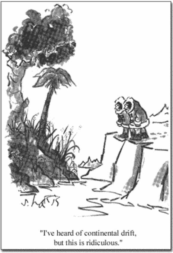
Continental drift is very slow and subtle. It was originally suggested by Alfred Wegener in 1912 on the basis of indirect evidence, such as the apparent fit of the east coast of the Americas against the west coast of Europe and Africa. However, at the time there was little evidence to support the theory and it was ignored. However, by the 1960's, a number of new pieces of evidence had accumulated. For example, it had been shown that some geological formations matched closely between the western coast of Africa and the eastern coast of South America. A pattern of frozen-in magnetism in the rocks on the floor of the Atlantic Ocean showed that the rock had spread from the center over geological times. The magnetic field of the earth reverses from time to time (a compass would then point south rather than north), and the frozen magnetism documented many such reversals while the rock spread. The motions of the continents was first measured by the U.S. Air Force, which established a network of satellite tracking stations around 1960 to allow accurate surveying between the continents. Before these stations were established, one of the largest sources of error in targeting intercontinental ballistic missiles was the uncertainty in the distances between continents (surveying was dependent on moving across solid land, not liquid oceans). Although these stations measured the distances between continents with sufficient accuracy to show continental drift, the entire process was a highly classified defense secret. The Smithsonian Astrophysical Observatory was given money to establish a very similar network of satellite tracking stations (including one on Mt. Hopkins south of Tucson) to repeat the measurements and put the verification of continental drift into the unclassified realm of science. Nowadays, you can make the same kind of measurement with a $100 GPS receiver, which uses satellites to achieve positional accuracies of about 10 feet. If you made many measurements and averaged them, you could eventually get to the few centimeter scale needed to see the drift.
Now, we can use radio telescopes to measure continental motions to about a millimeter per year!